Weekend Outdoors
Hiking South East Queensland
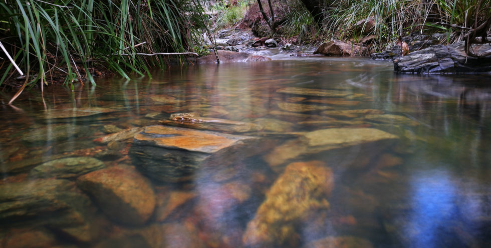
Northbrook Gorge section
There a few ways to reach the gorges but the easiest would be from the hilltop where the bee hives used to be, which is 3.7km uphill from White Cedar park if you're coming from Fernvale or approximately 12.3km downhill from Mt Glorious cafe if you're approaching from North Brisbane.
The car park is inside a tight bend and there's room for atleast a dozen cars, once you've parked your car walk accross the road and downhill to the corner ther you'll see a track leading downhill, follow the track to the creek and turn left to reach the gorges.
It's about a half hour walk to reach the main gorge but be prepared to get wet because you'll need to wade through some water to get there.
Maiala Park section
4.3kms return
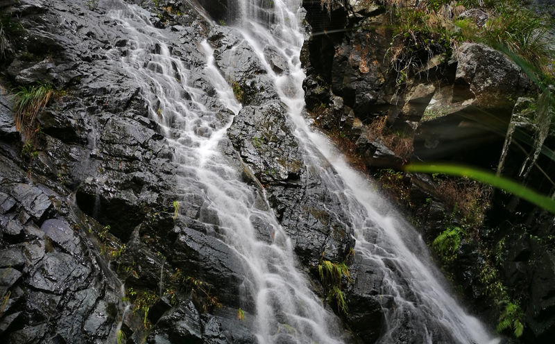
The Greenes Falls walking track passes over rainforest pools and ends at a lookout above Greenes Falls. The Greenes Falls walking track is an extra 2.2 km (return) walk branching off the Rainforest circuit, making it a overall distance of 4.3km.
Although the official track ends at the top of the waterfall you can get to the bottom of the falls via the old track on the left of the viewing platform, I don't recommend climbing down the falls themselves as many people have been injured doing so.
Middle kobble creek section
9.4kms return
From Mount Glorious Rd follow the Lepidozamia track for approximately 2.4kms to Middle Kobble fire break on the right, just past the turn off is the upper walk in campsite.
A further 2.3kms down along the Middle Kobble creek trail is the Middle Kobble creek walk in camp, which is situated above the waterfall.
The track is very steep in sections but easy to follow being all fire trail, allow 4 - 5hrs return.
Piper Comanche wreck
5.7km return
About 200 meters from the Lepidozamia track gate there is a smaller trail to the east. Follow this for approx 3km until you see a small cairn of stones. Follow the faint trail northeast down a rocky and steep hillside for approximately 500 meters,
the wreck is on the northern side of a small creek.
The trails here are very vague once you leave the old logging road making it very easy to go off course, extra attention is needed as there are few noticeable landmarks along the way.
Walking tracks map
Northbrook Gorge Section
 nbg006 |  nb14.jpg |  nb17.jpg |
|---|---|---|
 nb16.jpg |  nb15.jpg |  nb13.jpg |
 nb12.jpg |  nb11.jpg |  nb10.jpg |
 nb9.jpg |  nb8.jpg |  nb7.jpg |
 n8.jpg |  nb6.jpg |  n7.jpg |
 nb5.jpg |  n6.jpg |  nb4.jpg |
 n5.jpg |  n4.jpg |  n3.jpg |
 nb2.jpg |  n2.jpg |  nb1.jpg |
 n1.jpg |


